 Since arriving in Wyoming, I've been rewarded with a plethora of trout streams to explore. Being new to the area, I listen closely when people talk about a new destination and mentally bookmark place names and descriptions. One creek that was mentioned by a number of people was often accompanied by terms such as: monster browns, pigs, and inaccessible. Naturally, this peaked my interest.
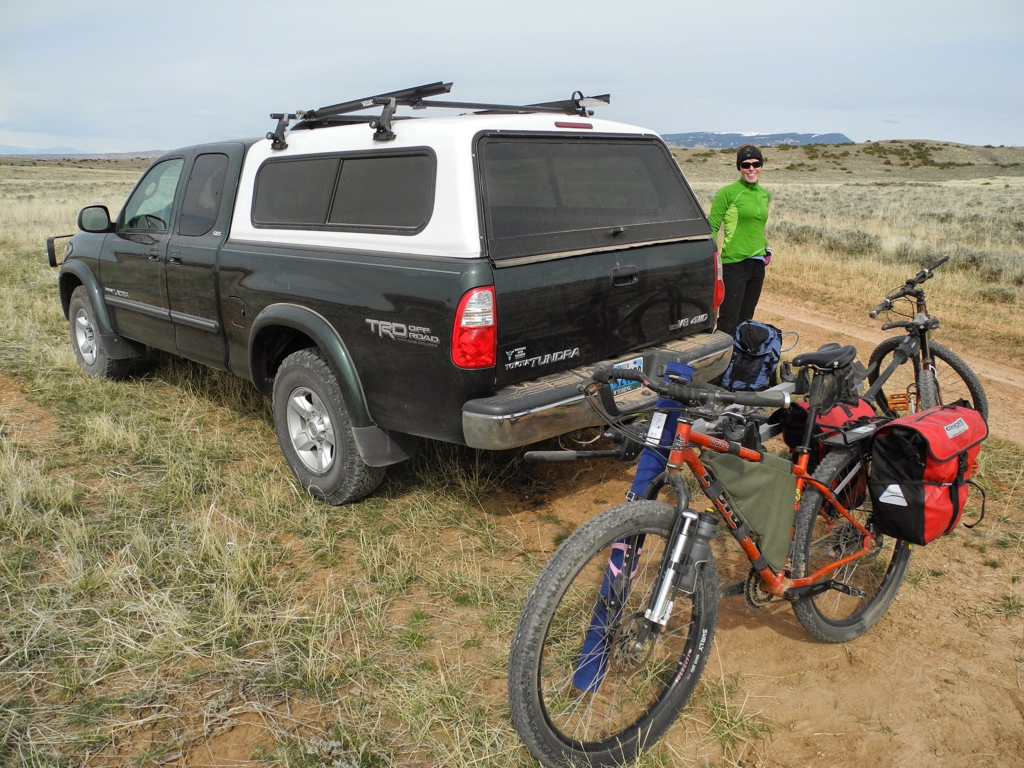
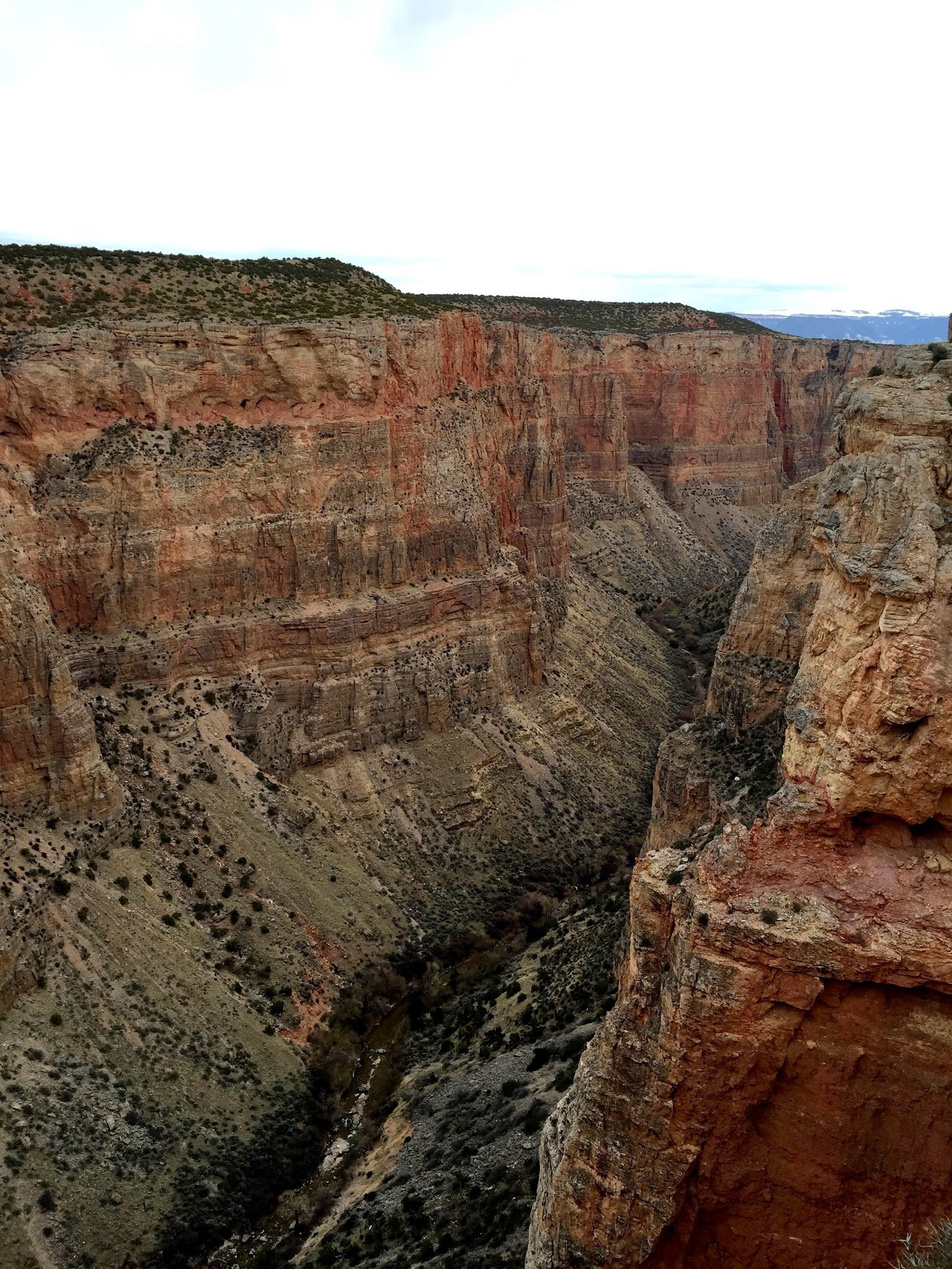
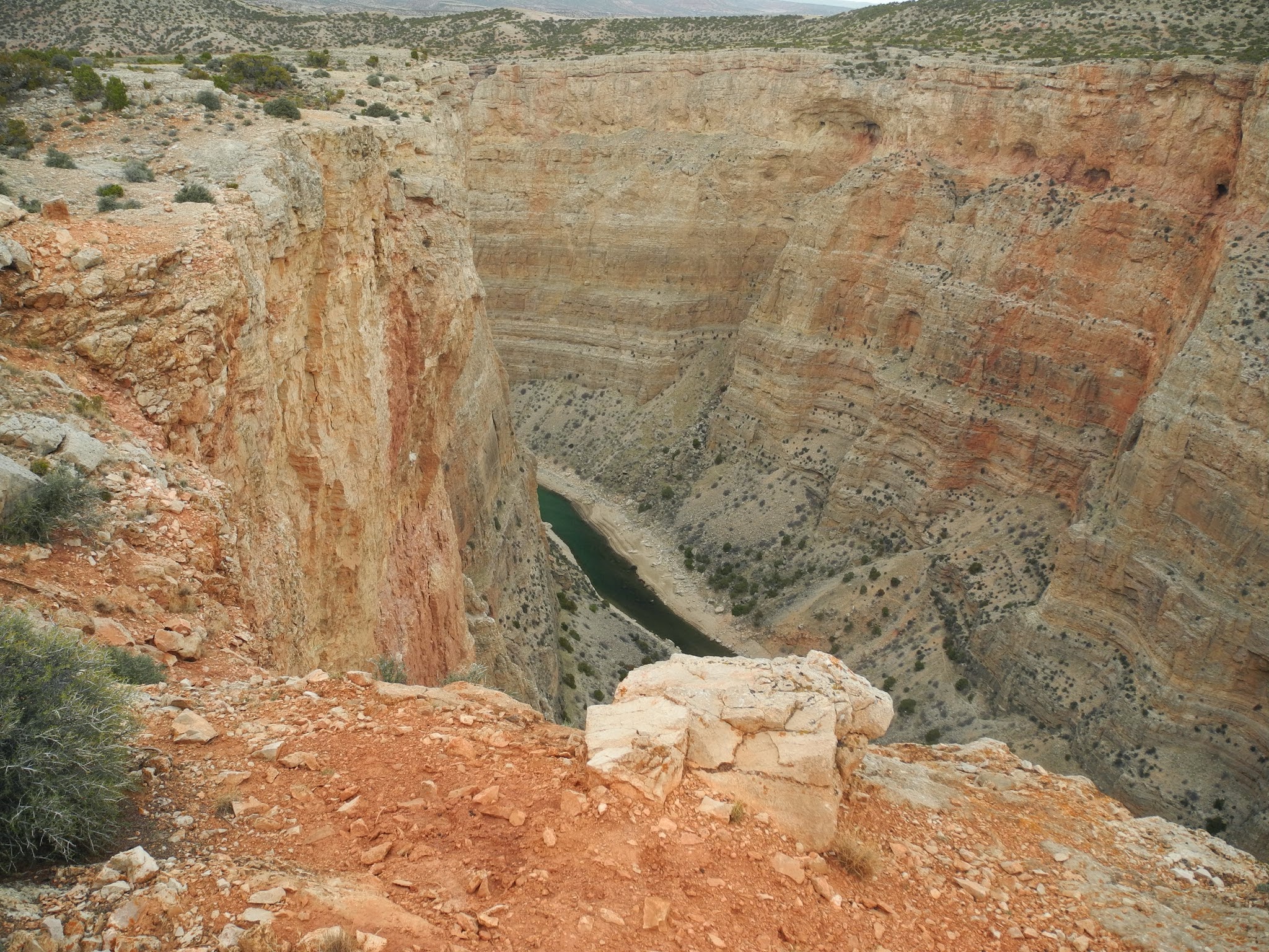
Access to the lower stretches of the creek are limited by towering cliffs that only bighorn sheep and falcons can navigate. The upper stretch is accessible by gravel road, but early season snow pack limits this. Being March, I oped to reach the lower portion of the stream where it nears Big Horn Reservoir. After pouring over topos for a week, I identified a side canyon that just might provide a route down to the canyon proper. I asked around town and heard rumors about a rope ladder and a dangerous approach, but no real conclusive beta. I packed the truck with mountain bikes, hiking boots, fishing gear, and headed towards Little Mountain.
I was warned that the road was rough, but I didn't expect to be in 4 low within minutes of turning off the paved highway. Glad I had a reliable truck, capable tires, and a spare, we spent the next hour+ lumbering up and over rocks and ruts before finally reaching the plateau of Little Mountain. Once on top the going got easier and we navigated to our destination. At this point we traded 4 wheels for two. There is a plethora of BLM roads on top of Little Mt, but not all of them allow motorized access. This is where the mountain bikes come in to play. Fishing gear goes in the panniers, hiking gear in the backpack.
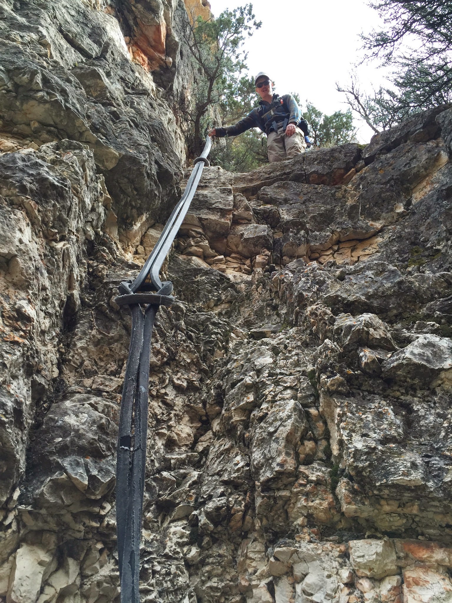
A short pedal across sage and juniper flats brought us to our drop-off point. Stashing the bikes behind some juniper, we loaded the waders into backpacks and headed down. Our side drainage started out gradual, winding through age old juniper trees. As we neared the canyon proper, the terrain steepened. This is where rock climbing skills came in handy. Ahead, we could see a definite drop off that could possibly put a quick end to downward progress. This is were we found the first "rope ladder" which turned out to be less of a ladder and more of a rancher's solution to rock climbing. Someone who had similar aspirations hauled in what I can only assume was a huge fan belt to some sort of gigantic farm equipment. The stout rubber belts were probably 10 feet in diameter if laid out in a circle. Three of them were girth hitched together with the top one looped around a rock as an anchor. I inspected the whole system and was confident enough to trust it.
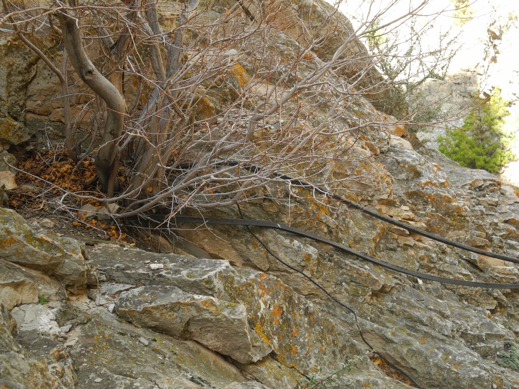
N elected to go first. Using the belt as an aid, she made short work of the 10' drop to the landing of a limestone amphitheater. I followed suit and we continued our way down. The route increased in pitch and we found ourselves down-climbing often and came to two more tractor belt lowers, each increasing in length and steepness. I could tell that were were getting closer to final descent and was excited to lay eyes on the creek. Rounding a corner, we came to the tallest belt lower yet. Up to this point, every belt was solidly anchored to a large rock that felt comfortable trusting. This one...not so much. No appropriate rock being available, the belts were looped around a bush that was half dead, growing out of a crack in the limestone. On top of that, these belts were of a smaller diameter and considerably more weathered. After mulling over the situation during lunch, we decided it wasn't worth the risk. The considerable lower would require the climber to put their entire weight on the system, both during the lower and on the climb back up. Not worth the risk
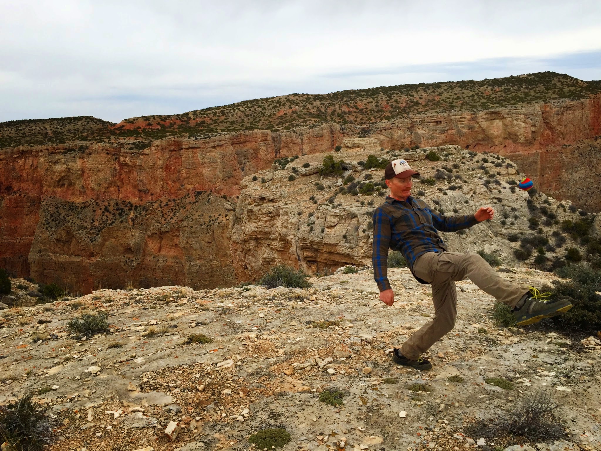
From the beginning, I half expected not to reach the canyon floor. The lines on the topo map were stacked awfully tight. Many people I asked said the route doesn't exist, or that there is no way down. Although we didn't reach the bottom, its clear that other's have.
I love this type of adventure: a couple of nondescript mentions of a hard to reach creek, no solid beta anywhere to be found, pouring over topo maps and satellite images, using bikes to access hard to reach places, potential rewards of unmolested lunker browns...next time I'll get to the bottom...


