 The Pryor mountains lie off the beaten in southern Montana. Though small in comparison to other mountain ranges in the area (Bighorns, Beartooths), they are still quite large. I drove past the Pryors this winter on a weekend fly fishing trip to the Bighorn River and knew that they needed to be explored by bike.
I couldn't find much information about biking in the Pryors, so most of my route planning consisted of hours plotting lines on Gaia GPS, and (look for an upcoming post about online route planning). The best information I found came from The Pryor Mountains website. Although this is a hiking focused website, it provided a great explanation of existing trails, roads, history, and issues.
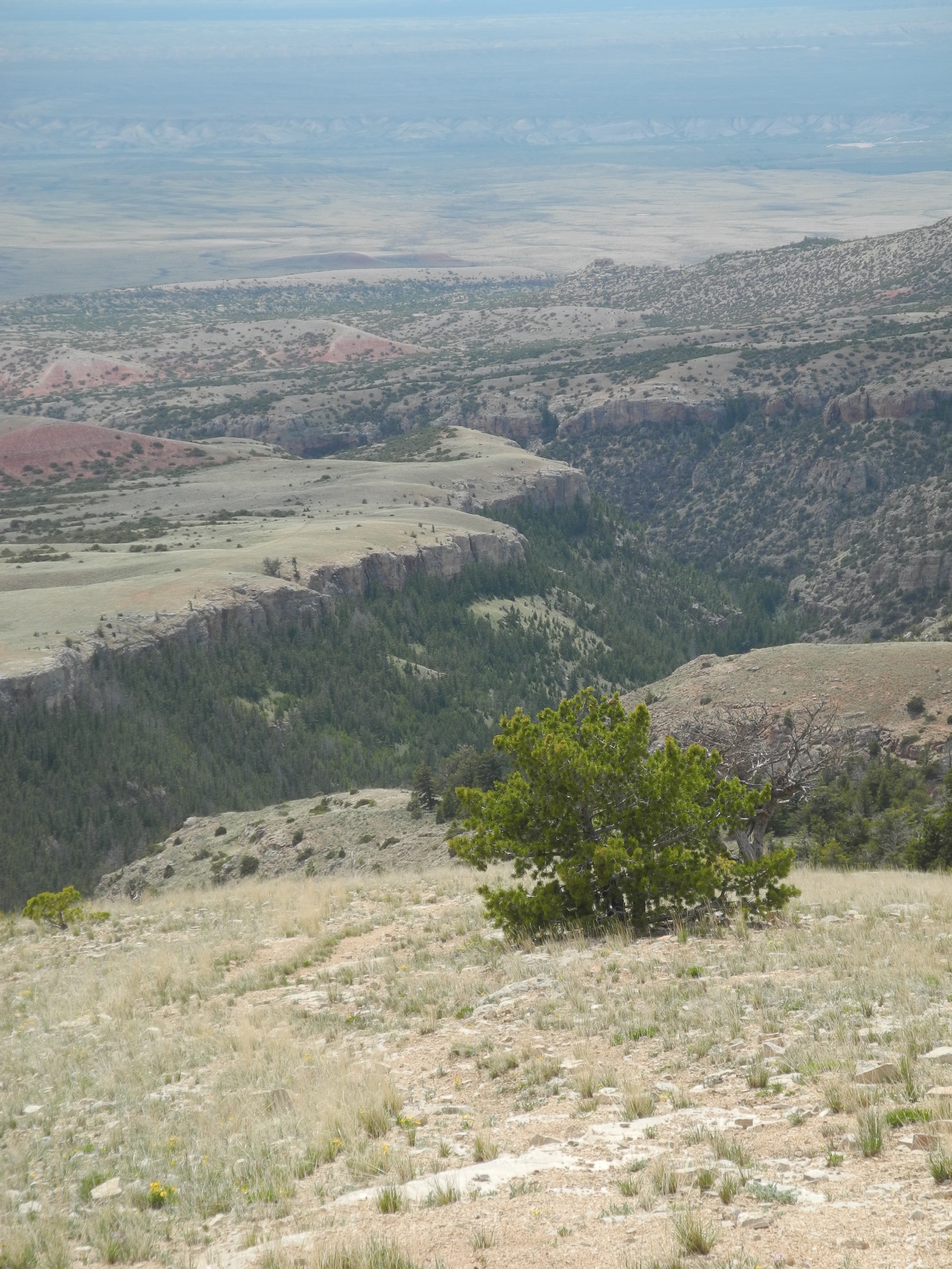
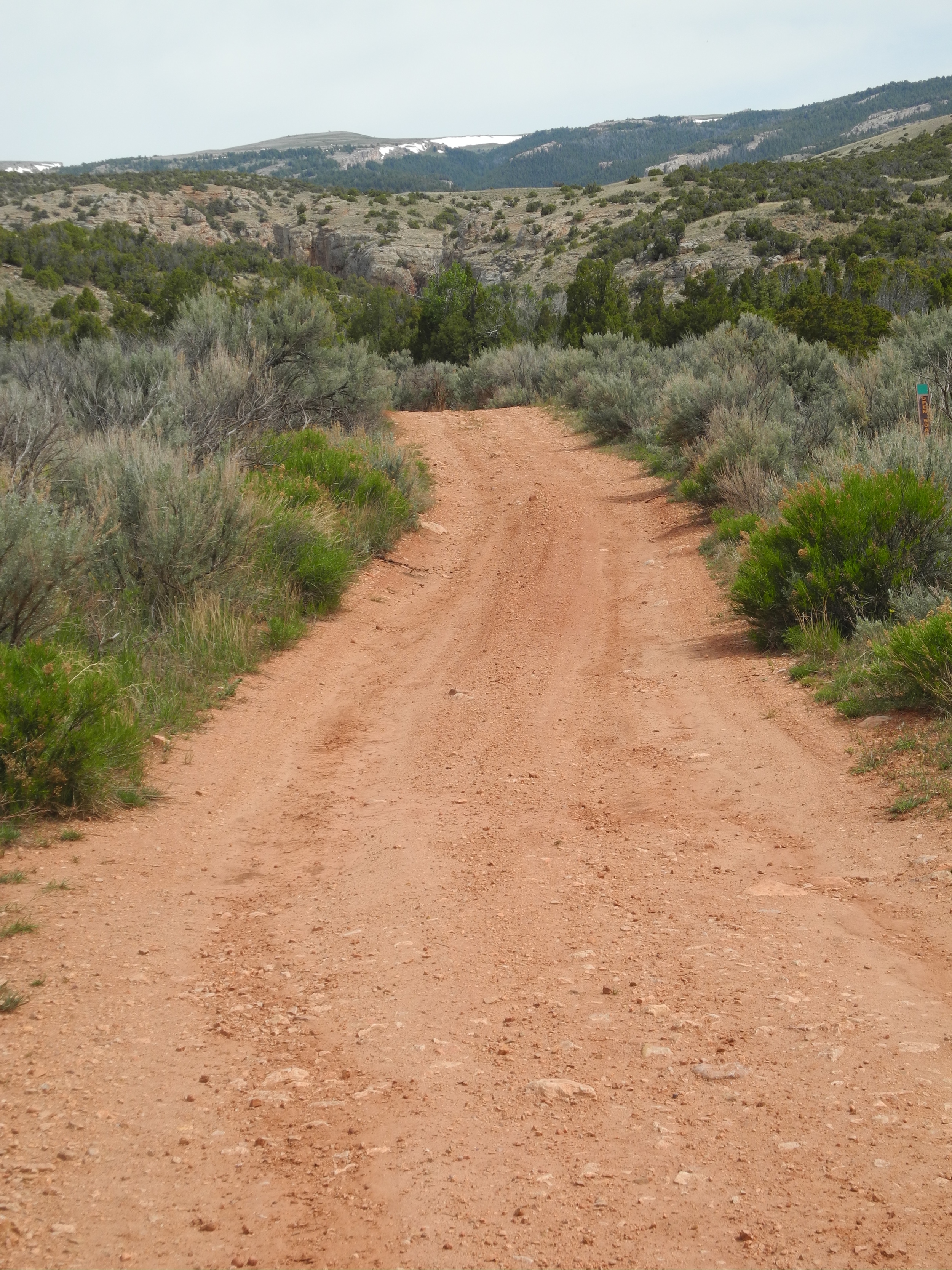
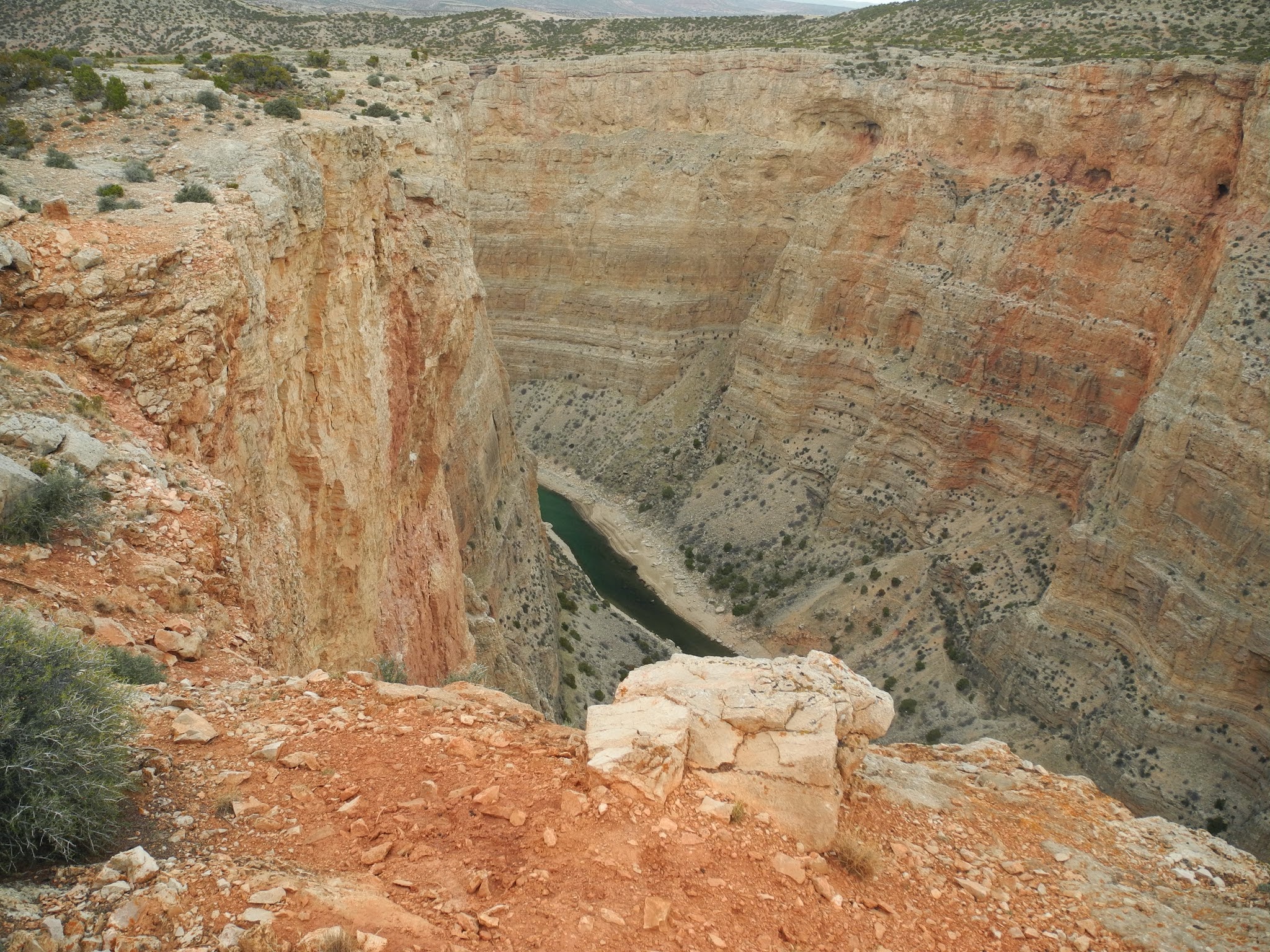
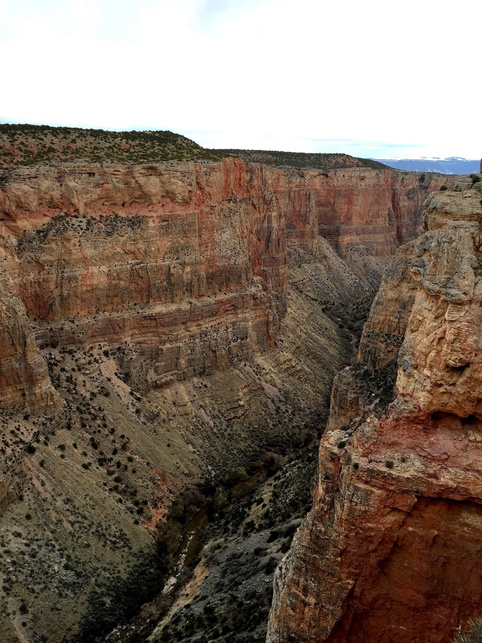
The coolest thing about this ride, and the Pryors in general, is the diversity of the surrounding environment. The mountains rise from the sage brush and prickly pear dense high desert of the Bighorn Basin at 5,000 ft elevation and climb to just under 9,000 ft. During the long pedal up, the sage gives way to juniper and limestone formations that conjure visions of spaghetti western films. The maze like limestone canyons would be a welcome sight for a cattle rustler taking shelter form the lynch mob at his tail. Approaching 6,500 ft, the drainages begin to support bigger plants including douglas fir and quaking aspen. On the plateau of the range, sub alpine environment takes hold, lessening the constant threat of flats from the prickly pear that follow anyone biking in the high desert. The riding gets easier here, since most of the climbing has been done.
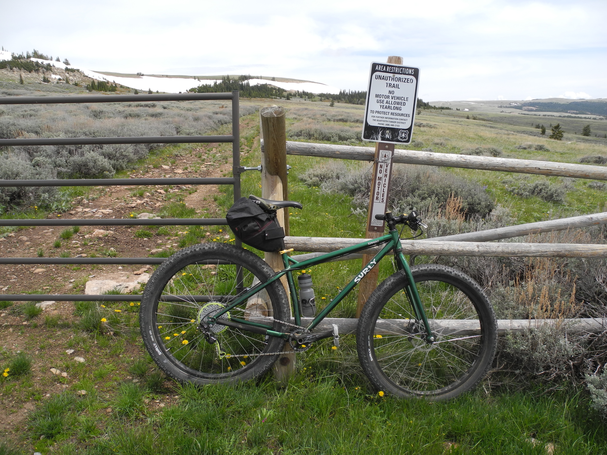
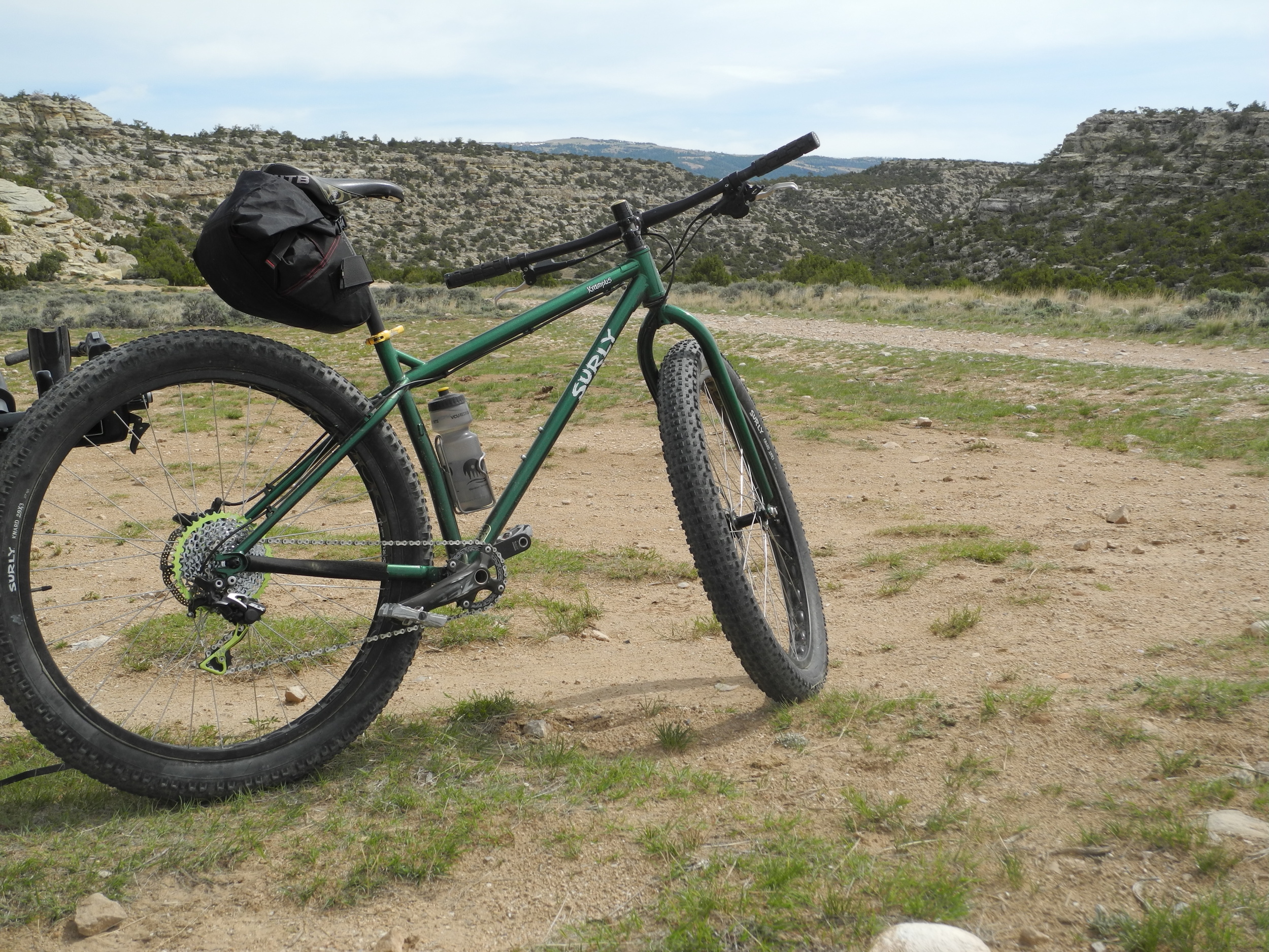
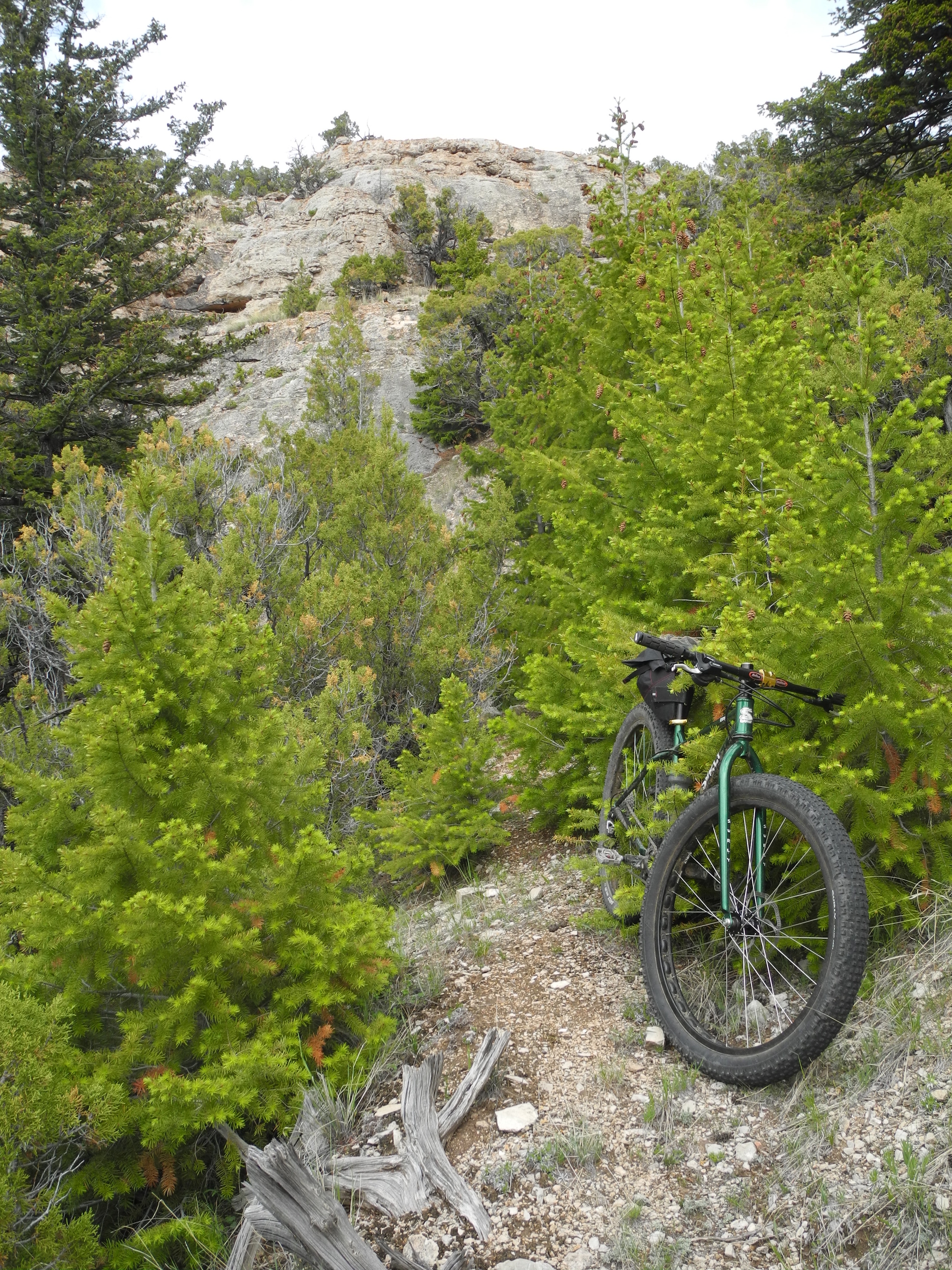
For this ride, I grabbed my trusty Surly Krampus. I have a number of overnight bikepacking trips planned on the Krampus this summer, so I wanted to field test a few changes I've made to the bike. Also, the generous 29" x 3" tires would be a good match for the rocky, loose climbs encountered on the marginally maintained forest road. My route started at the mouth of Bear Canyon on the western flank of the range. Forest road 2492 climbs sometime steeply along the west side of the canyon, eventually reaching the plateau. Thankfully, I was able to ride the majority of the road, only resigning to push at a few of the steepest sections. Once on top, the miles ticked away and I found myself wishing I had packed overnight gear, allowing a more thorough exploration of Big Pryor Mountain.
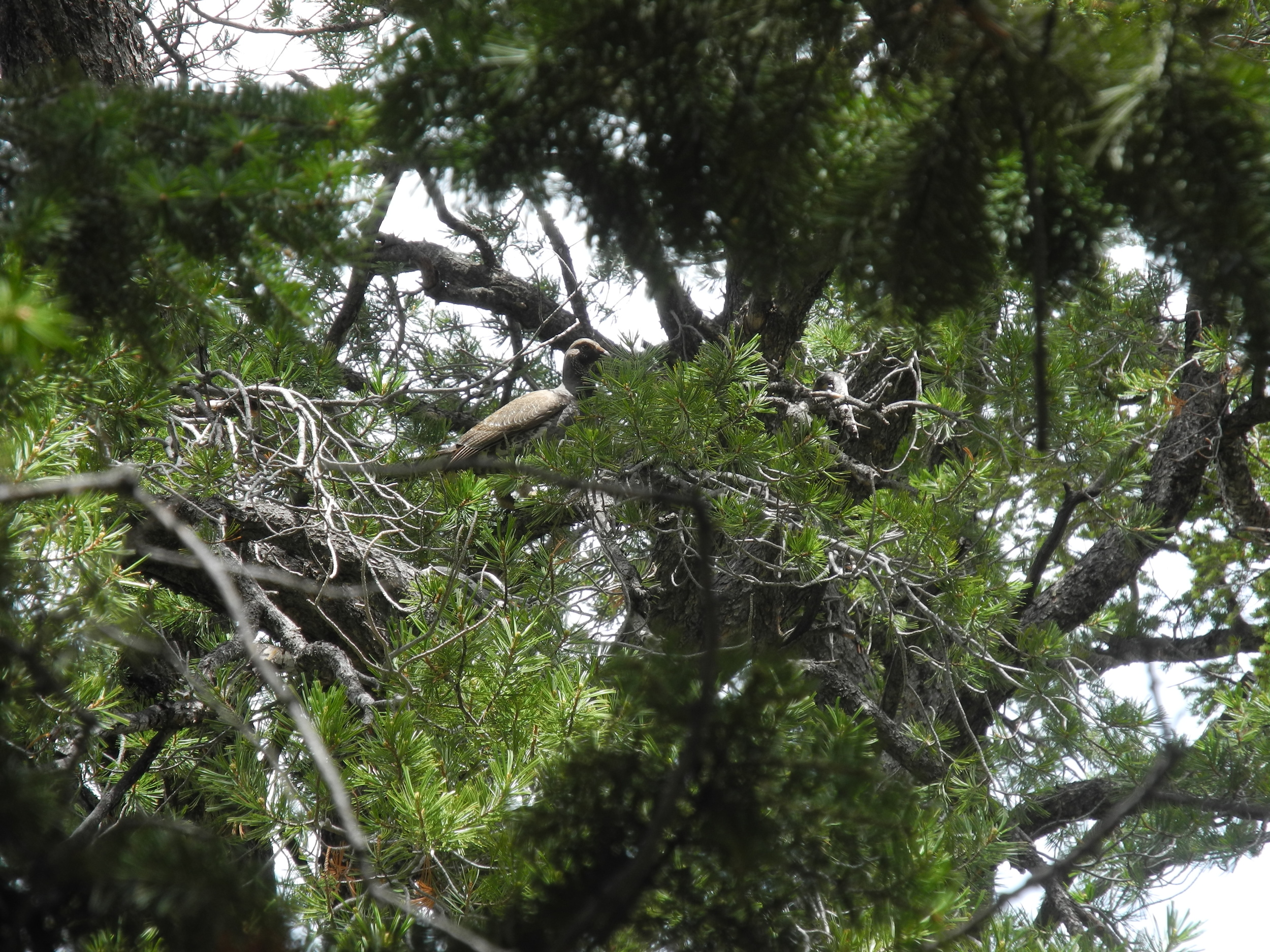
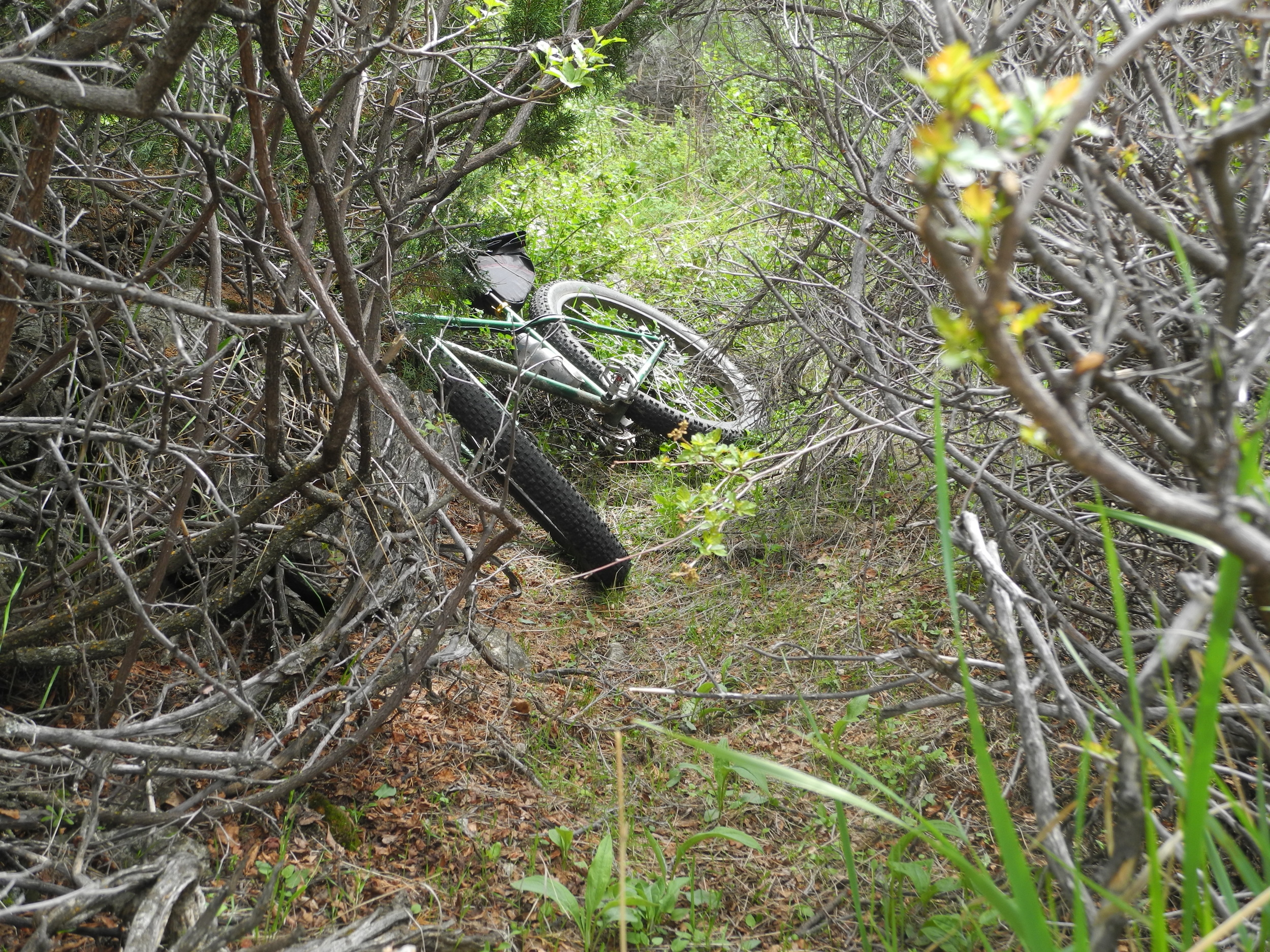
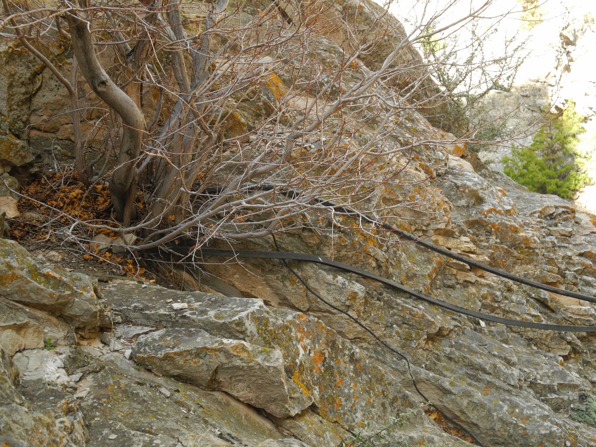
Satellite images showed an unnamed (and unofficial) ATV trail leading from the flank of Red Pryor Mountain along the southern edge of Bear Canyon. The trail down is too steep and rocky to really let loose, and requires almost constant braking. Once the descent levels off a bit, a few cow trails can be linked together to provide a few minutes of fun singletrack. I found a description of a switchbakcing trail down into Bear Canyon on the hiking website mentioned earlier, and I was eager to try some more single track. This is one of the few places that the canyon walls diminish, and it is possible to drop down into Bear Canyon. Using the Gaia GPS app on my phone, I found the remains of the abandoned trail and began the descent into Bear Canyon. The trail would be a fun ride had it not been overgrown with trees. The canyon bottom however, is a jungle; home to deer, bears (witnessed by a steaming pile of you know what) snakes (witnessed by coming to a screaming halt), and mountain lions (not witnessed, just presumed). Some crawling and bike pushing leads way to a faint path that is rideable with a little ducking and finesse. Thankfully, this stretch of bushwhacking is short lived, and quickly leads back to a BLM road that returns to the starting point.
Though not an epic singletrack mecca, the Pryors are a worthy place to explore by bike with amble opportunities for overnight bikepacking. Expect long, rocky climbs, diverse environments, exceptional views, and adventure. Plan to go in spring and fall as high summer could be very hot at lower elevations. I know I'll be back to explore more of the great things they have to offer.


